Monday, August 03, 2009
Day 49: Rawlins, WY to Lander, WY
Today was going to be a very, very long ride. 130 miles, with only one minor town. We'd be fortunate to even pass a gas station. It was the day we'd been worried about for a month, having almost quit the trip over fears of this day. We knew we'd be riding well into the night. We hate riding at night, but knowing you're not going to have a choice leaves you kind of calm about it. We had a leisurely breakfast at the Hampton, since it was hot and delicious. We got on the road around 7, rather than 5 or 6 like we should have.
The ride out of Rawlins was barren. As soon as US-287 leaves town you can see a landscape completely devoid of any buildings. Just flat grassland with low hills in the background. Everything is a shade of brown. But there was a generous shoulder, and the winds hadn't picked up yet, so we were content.
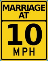
Only 11 miles out of Rawlins we passed an exciting sign.

Then we had an amazing view. We were crossing into the Great Divide Basin, a 3900 square mile area where water is unable to drain to either ocean. We were at the southern edge of the basin, and could just make out the northern edge from atop the rim. We played the Horizon game, with Jillian estimating the edge to be some 6 or 7 miles away, and me guessing 11 or 12.
As we descended into the basin, we ran into Michael, a cyclist who was trying to ride to Virginia very quickly. He recommended we not try to make Lander tonight, since it was just too far. About ten miles later, we came across an older Swedish couple, who had left Lander two days earlier and was only hoping to make Rawlins by nightfall. The edge of the basin didn't look any closer.

The basin wound up being twenty miles across, without a single paved road crossing our route the entire time. We didn't even see a tree. Just dunes, scrub, alkali flats, and the occasional antelope.
At the edge of the Basin was Grandma's, a roadside stop famous among cyclists for the pie. We'd heard so many stories about how fantastic it was to stop here. Inside we simply found a tired woman, who was sold out of pies. We ordered some Lemonade and some English Muffins. But the lemonade had things floating in it, so we didn't really drink much of it and instead got back on the road quickly, and rather demoralized.
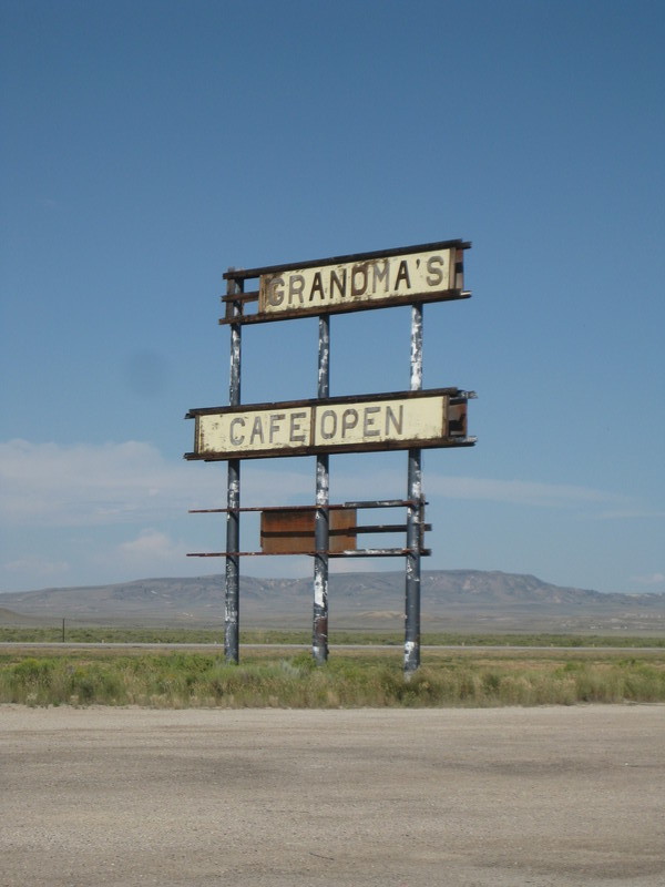
Just over the ridge from Grandma's, we ran into another sign.
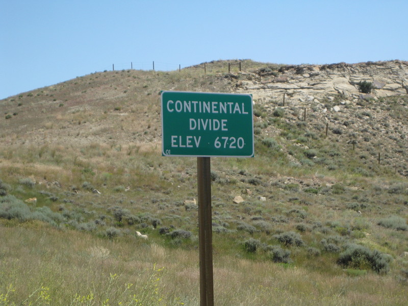
Some 40 miles in, the hills began to look a bit like mountains.

This section of Wyoming is barren, but gorgeous. We were more than a little envious of the motorcyclists we saw pass us.

After passing through Muddy Gap (which wasn't muddy at al), we came to Three Forks, where WY-220 meets US-287 and heads off to Casper and Independence Rock. We stopped at a Gas station here, the last one we'd see until Lander. Inside, every available surface was covered by signatures from other travelers.
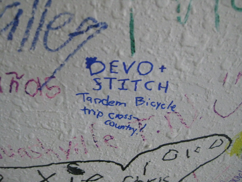
We may have also eaten some ice cream.
Although I would have liked to see Independence Rock, we didn't have the time (it would have taken an extra day). We stayed on 287 North. We'd be following part of the Oregon trail route for a while.
Our next stop came as a surprise, at Split Rock Historic Site.

The large cleft in the rock made it a natural landmark for people on the Oregon trail and it later became a stop on the Pony Express. We enjoyed it as a place with a working port-a-potty. We did not enjoy the winds that were starting to pick up.
Some twenty miles later we came to another oasis at Jeffrey City. Jeffrey City is a modern day ghost town. In 1957 a Uranium mine opened, and thousands of people moved there. A large high school, with an Olympic sized swimming pool was built. Hundreds of buildings were constructed for the workers. Then the mine closed, and 95% of the workers moved out within three years. Today only about one hundred people remain.
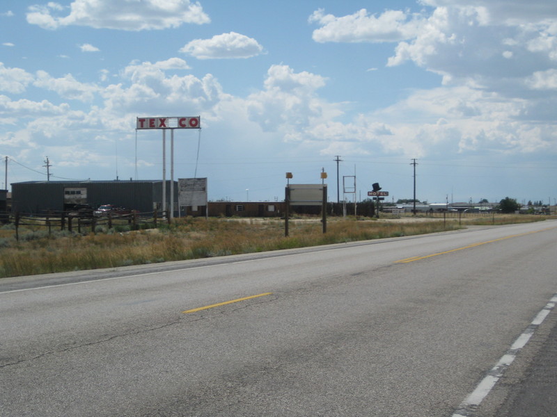
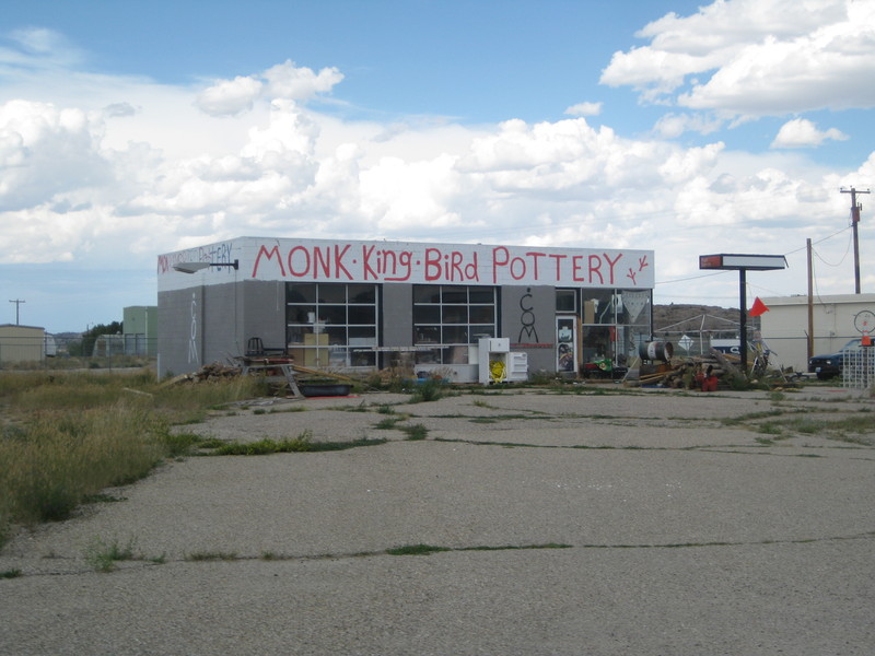
We stopped at bar, which also happened to be the only place open. Inside the bartender was playing World of Warcraft and watching Bonanza, but was happy to get us a couple of cokes. On our way out of town we passed Mocking Bird Pottery, where we heard the cyclists can camp indoors for free. I'd spent a good portion of the day before reading about hotel options and there was apparently a hotel in Jeffrey City, but it was so sketchy that most cyclists decided to ride on. We saw something that might have been a hotel, or might have been an abandoned former hotel. We rode on.
Our next stop as the Sweetwater Rest stop, another twenty miles away. The ride there started to look a little scary.
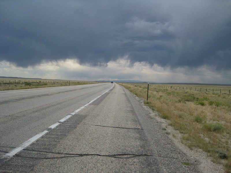
Plus the winds started to pick up. Although we certainly saw quite a bit of lightening on the horizon, we managed to outrun the storm. But then another storm came up, chasing us for a few more miles. This process repeated the whole way to the Sweetwater, where we brought the bike right into the main building at the rest area and sat for a while, rehydrating and trying to keep warm. While there we talked at length with a man from Iowa, who loved the idea of our trip.
Once it seemed like the rains had died down enough to safety ride again we went back outside. It was early evening when we started up the climb out of Sweetwater, chased again by storms. Despite having almost fifty miles left to ride, we were fairly confident. The Adventure Cycling maps include an elevation profile on the back and we knew that some miles after Sweetwater there would be a long downhill that would speed us into Lander.
That downhill came at mile 92. From the top we estimated we could easily see fifty miles to the mountains far to our north. The added speed also gave us some hope that we could avoid the storms chasing behind us. We couldn't get pictures of most of it, since we were in such a hurry to ride out of there. Jillian did snap one, toward the end.
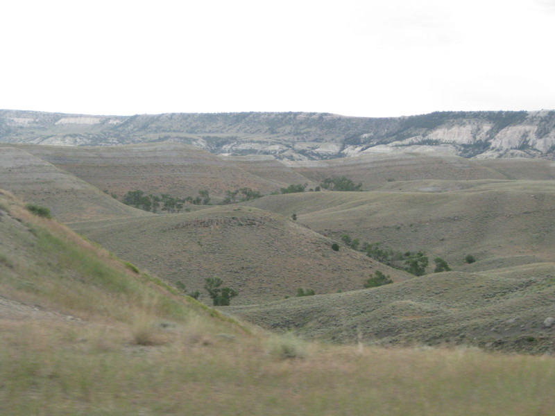
It would have been a fantastic end of the day, as we watched the sun go down on our descent. But we still had almost thirty miles to go, and it was rapidly getting dark. Once it was no longer safe to ride, we pulled off to put on lights as quickly as we could.
We regretted that decision immediately. Despite stopping for no longer than a minute or two, we were assaulted by hundreds of mosquitoes, who bit us through our clothes and bit Jillian through the bike seat. We were in agony as we rode as hard as our legs could push us, with hundreds of aching points on our bodies, as we tried to outrun the bugs we couldn't even see in the dark.
With the dark came quieter winds, but up ahead on the horizon we could see lightning strikes that appeared to be explosions. Jillian kept her eyes on our surroundings, looking for lightening that was too close, and we both played the shelter game - Jillian would call out the mileage whenever we found something, anything that we might hide under in the event of a terrible storm. There wasn't much to pick from - the best shelter we found was rock overhangs on the side of the road.
Ten miles outside of Lander we came across a girl riding a horse. We didn't think to call to them, but as we passed we spooked the horse, almost causing the girl to look control and sending sparks flying from the horse's hooves.
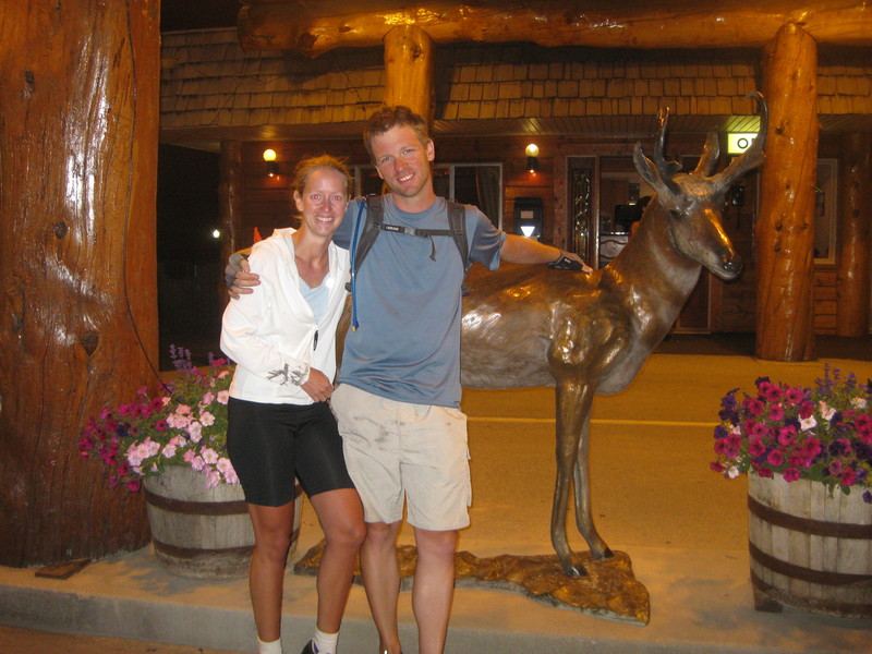
Finally, at just after midnight, we arrived in Lander. We tried the First Choice Inn, only to find it completely booked by a number of buses out of Salt Lake. There aren't many hotels in Lander, so we tried the Best Western Pronghorn, where we were able to get the last room, a suite, for much more money than we wanted to pay. But we had no other choices - there may have been no other room available in town. The sense of relief when we finally moved the bike into our suite was beyond belief. We'd actually ridden the hardest day on the entire journey.
But then we walked over to McDonald's to get a pathetic dinner. We'd only had trip food to eat since those English Muffins in the morning, so we were happy to just find somewhere open, but it wasn't enough or good enough food. We ate a quiet dinner in the kitchenette of our Hotel Room. The bug bites were miserable. Getting to sleep wasn't hard, but we just wanted to be done with this trip.
 ← Day 48: Off day in Rawlins | Home | Day 50: Lander, WY to DuBois, WY →

![]()
![]()
 | posted at: 02:20 |
permanent link and comments
